
Planning a journey that involves several destinations can quickly become a muddle if you rely on guesswork or scribbled notes. Thankfully, modern digital tools have made it remarkably straightforward to map out a journey with numerous stops, ensuring you travel the shortest and most sensible path from start to finish. Whether you're a delivery driver, a tradesperson visiting several clients, or simply someone plotting a day of errands, understanding how to build and organise a multi-stop route can save considerable time and reduce unnecessary mileage.
In short
- Modern digital tools like Google Maps simplify the process of planning efficient routes with multiple stops to save time and reduce mileage.
- Users can build routes by setting an anchor starting point and adding subsequent destinations either manually or through dedicated route planning platforms.
- Optimizing the sequence of stops based on geography rather than the order of entry is essential for minimizing backtracking and fuel consumption.
- Verifying every address and reviewing the full itinerary before departure prevents navigation errors caused by incorrect data entry.
- Dedicated route optimization software leverages mapping APIs to automatically calculate the most efficient path for complex journeys.
- Advanced mapping platforms offer additional features like AI-powered tools, environmental data, and 3D visualization to enhance professional navigation and geospatial analytics.
Setting up your multi-stop journey using google maps
The most accessible starting point for anyone wanting to build a route with several destinations is Google Maps, a tool most people already have on their phone or browser. Getting started requires nothing more complicated than opening the app and typing in your first location.
Accessing google maps and entering your starting location
Once you've opened the app, the first task is entering your starting address. This becomes the anchor point for your entire journey, so it's worth taking a moment to make sure it's spelled correctly and matches the intended location on the map. From here, you're ready to begin building out your route planner with additional stops.
Adding multiple destinations to your route efficiently
After your starting point is set, look for the option to add a destination, which usually appears as a small plus symbol or an explicit button labelled accordingly. You can continue adding stops one after another, either by typing in full addresses or by tapping directly on locations shown on the map. This flexibility makes it simple to build a route with multiple stops without needing to leave the app or switch between different tools. Many people also turn to a dedicated multiple stop route planner for extra flexibility, particularly when dealing with a long list of addresses. Such tools often let you insert destinations, set specific goals for your trip, and then simply click a button to plan your route, after which the quickest path and full driving directions are generated automatically.
Organising and Prioritising Your Stops for Maximum Efficiency
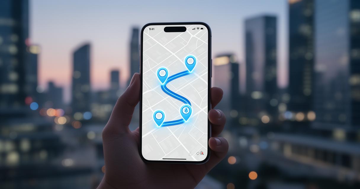
Having a list of addresses is only half the job. The real value comes from arranging those stops in an order that minimises backtracking and wasted travel. This is where thoughtful route optimisation becomes essential, particularly if you're managing deliveries or multiple appointments in a single outing.
Arranging Your Addresses in the Most Practical Order
When organising your stops, think about geography rather than simply the order in which addresses occurred to you. Grouping nearby locations together and sequencing them logically can lead to meaningful fuel savings and better time efficiency throughout your journey. Some platforms, such as MyRouteOnline, are built specifically for this purpose and rely on the Google Maps API to function reliably across the globe. These driving route planners are designed to calculate the most efficient path across numerous stops, taking the guesswork out of sequencing.
It's worth noting that route optimisation isn't just about convenience; it genuinely saves time, fuel, and money by intelligently mapping out multiple locations in the best possible order. For anyone managing a fleet or a busy schedule of visits, this kind of location mapping can make a tangible difference to daily operations.
Verifying each stop to ensure accurate navigation
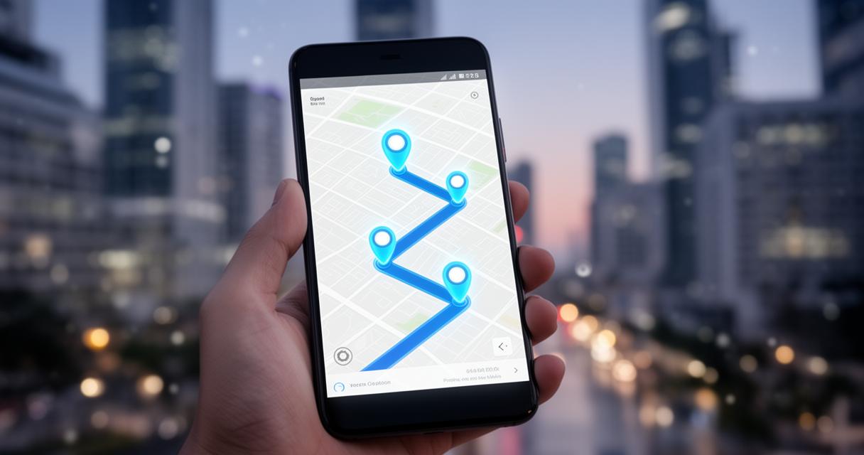
Before setting off, it's sensible to check every address you've entered. A single misplaced digit or an incorrect postcode could send you significantly off course, so a quick review of each stop against your intended list helps avoid confusion once you're already on the road. Locations can typically be imported in bulk or entered manually, depending on which method suits your workflow best.
Reviewing and finalising your itinerary before departure
Once every destination has been added and arranged, it's time to take a final look at the complete itinerary. This last check ensures everything lines up correctly before you actually start driving.
Double-checking your route data for precision
Accuracy matters enormously here, so it's worth confirming that every stop appears in the correct order and that no address has been duplicated or missed. Should any questions arise during this process, most platforms offer support through email, and developers wanting to experiment further can often start building quickly using a Maps Demo Key that requires no credit card at all.
Utilising Maps to Visualise and Manage Your Planned Stops
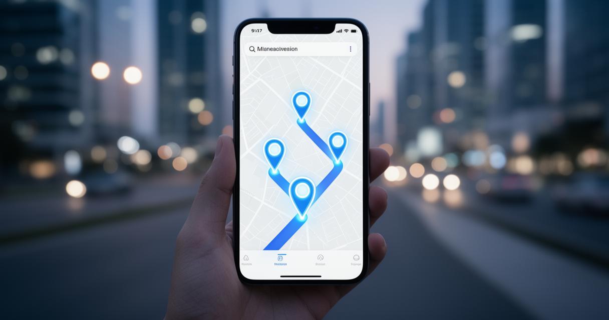
Beyond simple route planning, the broader Google Maps Platform has expanded considerably, introducing a range of AI-powered tools designed to enhance geospatial analytics and navigation more broadly. Newer offerings include products such as Google Earth, Grounding Lite, and the Maps Agentic UI Toolkit, alongside features like 3D Maps and Aerial View that create genuinely immersive map experiences. For those needing more advanced functionality, Route Optimization and Compute Routes tools assist with sophisticated navigation planning, while Places features such as Autocomplete, Geocoding, and Nearby Search improve the overall user experience considerably.
There's also a growing suite of environmental data available, covering everything from air quality and pollen counts to solar data and weather insights, all of which can add useful context to route planning for certain industries. Comprehensive datasets and models are offered for deeper geospatial analytics, and pricing remains flexible, with both pay-as-you-go and subscription pricing options available depending on how frequently these tools are used. A fixed monthly subscription can unlock access to a wider range of products, which may suit businesses relying heavily on mapping technology.
Ultimately, whether you're using a straightforward app or a more advanced platform, the goal remains the same: building a route with multiple addresses that is logical, efficient, and easy to follow. With careful attention to detail and the right tools at your disposal, managing stop priorities becomes a genuinely simple task rather than a source of stress before any journey.